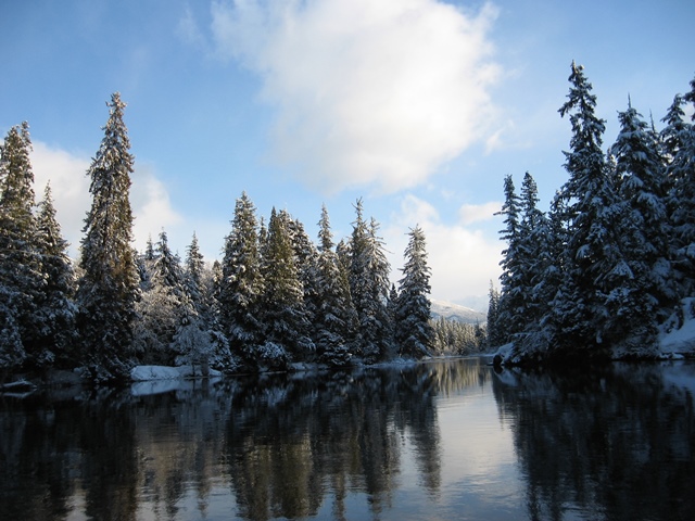
Our region is divided into six Electoral Areas, each is unique and beautiful.  Within the Electoral Areas are our First Nation neighbours.

Area A

Electoral Area A:   Generally thought of as the Nass Valley, with the heart being the Nisga’a Nation and its four communities.  Geographically the electoral area commences just north of Bell II, south to north of Rosswood, west to the Portland Canal, east to the easterly boundary of the Skeena and Nass watersheds.  The area includes the Nisaga Nation and four other communities:

Contact Electoral Area A Director:   Eric Nyce at [email protected]

image 1
image 2
image 3

Area B

Electoral Area B is home to the 3000-foot walls of the rugged Rocher de Boule Mountain Range and is filled with several distinct small communities, including The Hazeltons, the Totem Pole Capital of the World.

Geographically the area is generally described as the area commencing north of the Upper Kispiox Valley, south to Moricetown, west of Cedarvale, east to the Hazeltons, and includes the following communities:

Contact Electoral Area B Director:  Cyra Yunkws at [email protected] 


image 1
image 2


Area C

Electoral Area C takes in many rural communities surrounding Terrace and Thornhill situated along the rivers and lakes, including the Skeena and Kalum Rivers and Lakelse Lake.

Geographically the area is generally described as the area commencing north of Rosswood, south to Hecate Straight, west of Salvus, east to west of Cedarvale, and includes the following communities:

  • Brauns Island
  • Butedale
  • Chimdemash
  • Copperside
  • Dutch Valley
  • Gitaus / Kitselas
  • Gossan
  • Jackpine Flats
  • Kemano
  • Kitasoo/Klemtu   
  • Kitima’at Village
  • Kitsumkalum    
  • Kleanza 
  • Lakelse Lake
  • New Remo
  • North Terrace
  • Old Remo
  • Rosswood 
  • Usk

Contact Area C Director: Bruce Bidgood at  [email protected] 
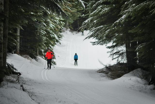

image 1
image 2

Area D

Electoral Area D is accessed by the Stewart-Cassier Highway. It is generally described as the area commencing north to between Iskut and the beautiful Stikine Rivers; south to north of Bell II, west to the Alaska Panhandle and east from the Gladys Ridge Ecological Reserve and includes the following communities of:

Contact Area D Director: Dave Brocklebank at [email protected] 


image 1
image 2


image 5
image 6
image 7

Area E

Electoral Area E – is generally described as the community of Thornhill, and the area also includes Kulspai. Thornhill is a large unincorporated community located across the river from Terrace with its own volunteer fire department and bus service.

Learn more about Thornhill Governance.

Contact Area E Director:  Ted Ramsey at [email protected]


image 1
image 2

Area F

Electoral Area F – is generally described as the Dease lake area, a place for adventure along the Dease and Stikine Rivers.

Geographically the area commences 75 kilometers north of Dease Lake, south to between Iskut and the Stikine River, west to 20 kilometers east of Telegraph Creek and includes the following community of Dease Lake.

  • Dease Lake 

Contact Area F Director: Tina Etzerza at [email protected]


image 1


Within our boundaries there are five dynamic member municipalities all of which appointed elected officials to be Directors on the Regional District Board.
City of Terrace

City of Terrace: Terrace, the regional business centre for the area is located approximately 550 air miles northwest of Vancouver. Located on a series of natural flat benches or terraces within the Skeena River Valley, its close proximity to the ocean, low altitude, and protective shelter offered by the Coast Mountains has created a pleasant, enviable climate. Along with Kitimat, Terrace is one of the two largest communities in northwestern BC.

View the City of Terrace's Web Site https://www.terrace.ca/

image 1
image 2
image 3
image 4

District of Kitimat

Located at the head of the Douglas Channel and surrounded by mountains, the City of Kitimat has a population of just over 8100. The Kitimat River, with its abundant salmon and world-renowned Steelhead stocks, runs through the community and lends its name to our Regional District.

View the District of Kitimat's Web Site https://www.kitimat.ca/en/index.aspx

image 1
image 2

District of New Hazelton

District of New Hazelton: The District of New Hazelton is situated between the Bulkley River and the stunning Roche De Boule Mountain Range. The area’s natural beauty and pristine wilderness has made New Hazelton a mecca for outdoor enthusiasts. It is also home to a rich First Nations history located only a few kilometers from historic Village of Hazelton and Ksan.

View District of New Hazelton's Web Site http://newhazelton.ca/

image 1
image 2
image 3

image 5

Village of Hazelton

The Village of Hazelton: Situated at the confluence of the Skeena and Bulkley Rivers,  the Village of Hazelton remains quaint and charming. Its population continues to reflect a mix of the original Gitxsan First Nations people and the settlers that joined them.  It has a small town the feeling of 'old frontier spirit' and a comfortable remoteness that carries the feeling of being "away from it all."

View the Village of Hazelton's Web Site http://www.hazelton.ca/

image 1
image 2
image 3

District of Stewart

District of Stewart:  Situated across from Alaska's Misty Fiords National Park and at the end of the Portland Canal, Stewart, is a unique border town attracting tourists from every corner of the world. The relative isolation, tranquility, and mountainous, ocean and glacial scenery of Stewart are major draws all year round.

View the District of Stewart's Web Site http://districtofstewart.com/

image 1

image 3
image 4
image 7

Apply to Speak to the Board
Apply